
Blue River Maps
PUBLISHER’S NOTE: I was at a fly tying last night. The major concentration was on the Blue River, and flies that work on the Blue River. I also heard some completely logical, on one level, complaints about how social media would “kill the Blue River,” and that it is already happening. There is no fine line for me here on this website, or on the Texas Fly Caster YouTube Channel. “Show-and-Tell” is where it all started and where it all ends! The double-edged sword of wanting to bring people into fly fishing comes with the other edge; sometimes you have to give a little to raise all the boats. It’s a philosophy Lefty Kreh lived, and for better or worse, I want to grow this sport too. Rather than burden this informational post with philosophical fly fishing questions, let’s move ahead and begin to fill in all the Blue River blanks.
Know Before You Go – Part 1 in 2026 Blue River Oklahoma Series
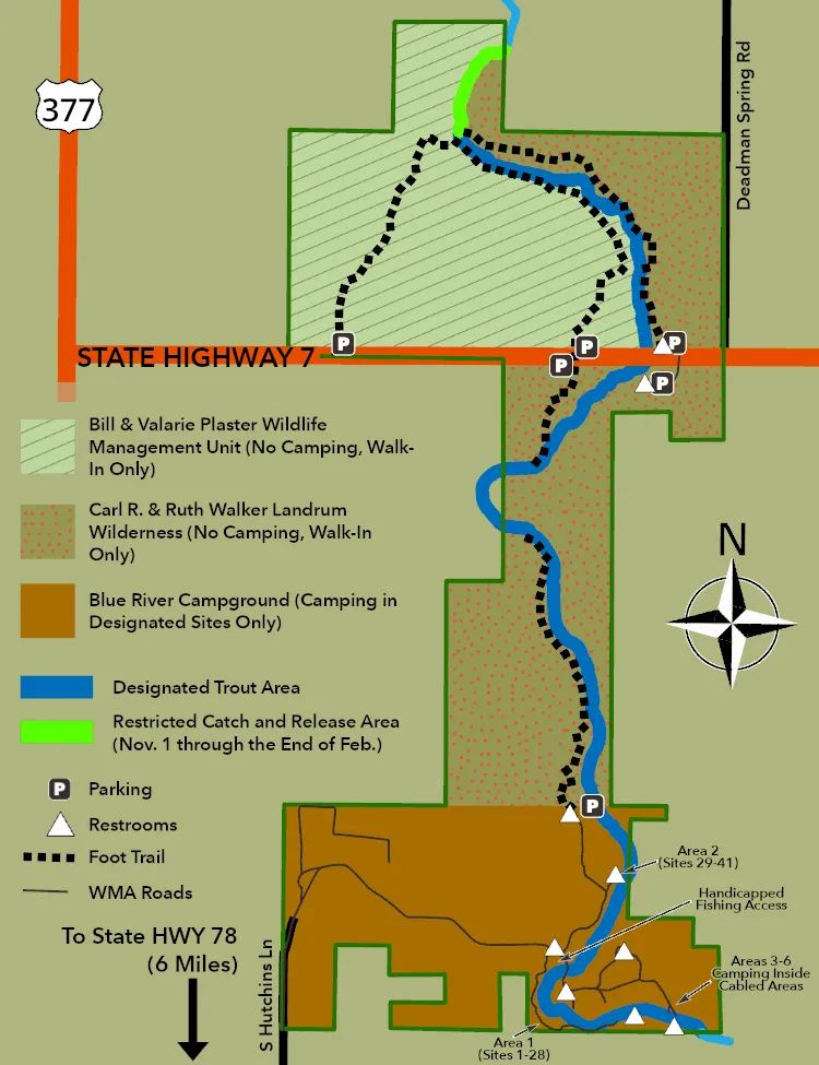
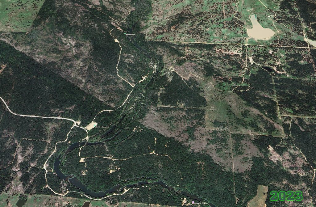
Maps are undoubtedly one of my greatest weaknesses. From Hook-N-Line, to truly expensive TOPO maps, I have enough to completely cover the inside walls of my boat house.While I debate creating a more personalized fly fishing related map of the Blue River (for anyone who likes Google Maps), we need to start this year off somewhere! Here are the maps found online, and some links that you will find handy and in the MOST COMPRESSED story I can manage at this moment. If you find more or better resources, please add them IN A COMMENT only. My understanding of maps and overlays is that the area of the Blue River we fly fish in, actually resides inside the Chickasaw Nation?
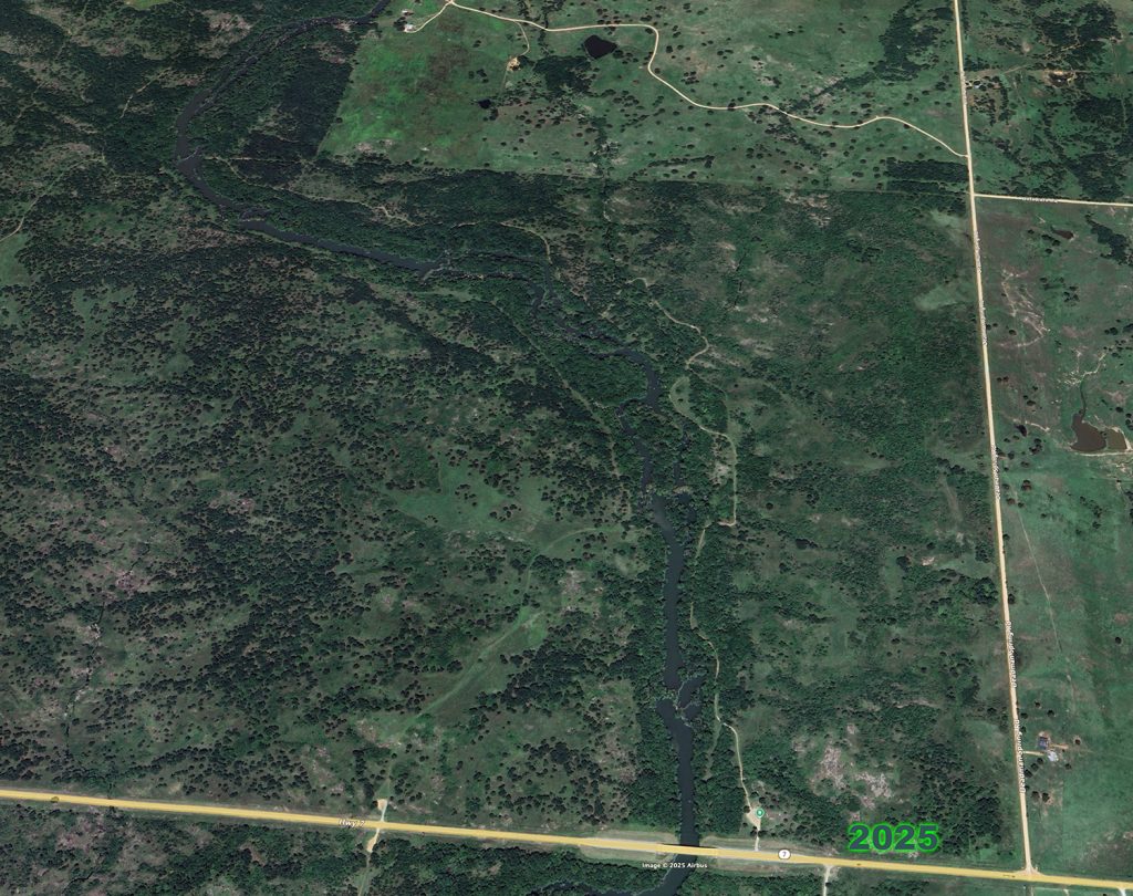
Blue River Maps for Fly Fishing Starters
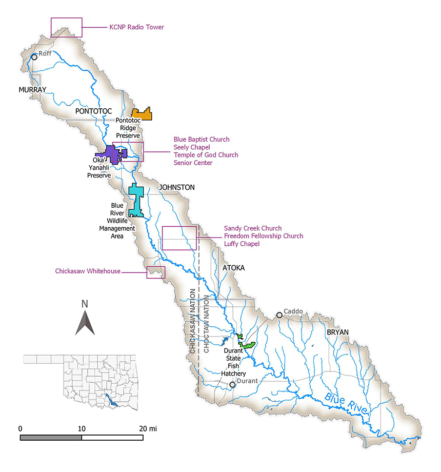
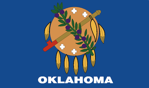
- The Chickasaw Nation’s recognized jurisdiction spans parts or all of 13 counties — including Murray, Pontotoc, Johnston, and Bryan. chickasaw.net+2Wikipedia+2
- The Blue River begins in southeastern Murray County, flows east into Pontotoc County, then southeast through Johnston and Bryan counties. Wikipedia+2chickasaw.net+2
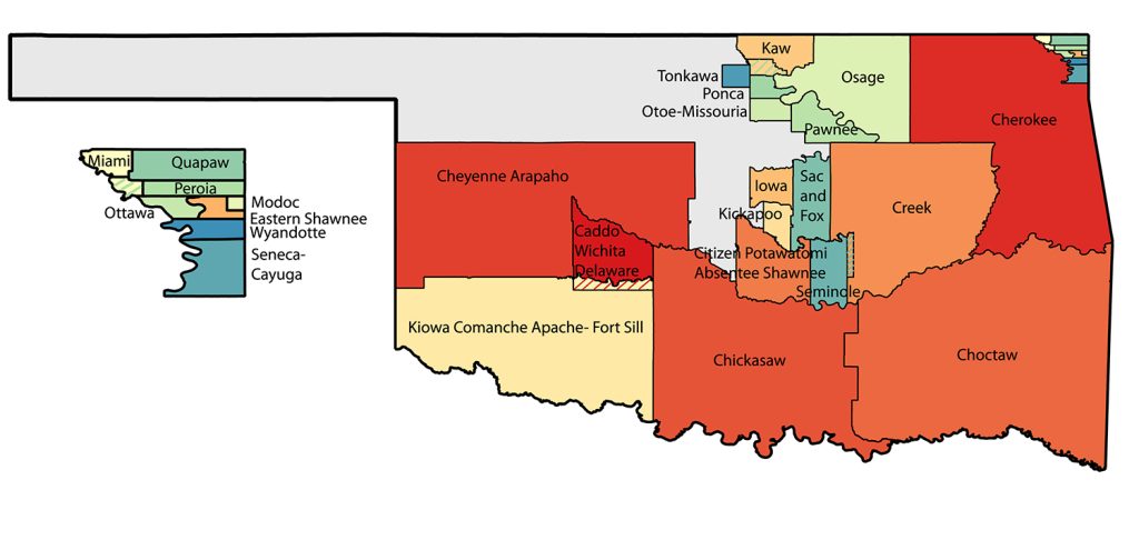
- Much of Blue River’s path lies within the historic / current Chickasaw Nation boundaries.
- As a result, sections of the river — especially from the headwaters down through Pontotoc, Johnston and Bryan counties — are indeed inside (or overlap with) Chickasaw Nation territory.
I generated this Oklahoma Blue River Magazine to try and compress this information into one Issue. The link is below the magazine. Enjoy the Blue River Issue, and feel free to send me corrections and updates to this Issue as needed. Time tends to wear away the accuracy, in small bytes, of a large pool of information like this Blue River Magazine. The River changes.